Geo-Marketing with GIS
Lorex combines GIS Mapping and Marketing Fulfillment under one roof.
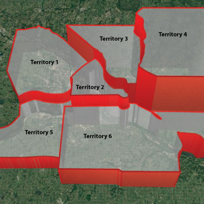
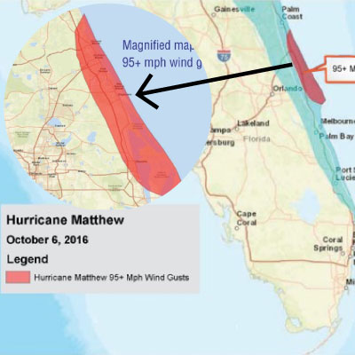
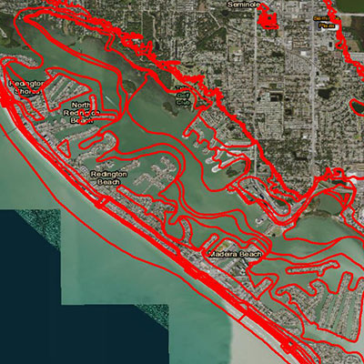
Our GIS Platform makes complex targeting requirements routine. With GIS for Marketing, you are no longer constrained by standard geographies like county, census block or postal carrier routes to define your target market. Map boundaries are defined by the marketer--or by the data itself. Not just for direct mail, GIS can be used to target online digital ads and even Facebook.
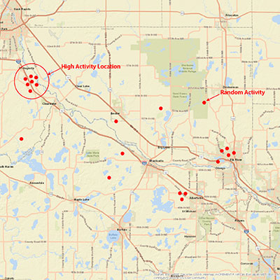
So what is GIS? Geographic information system technology (GIS) is a computer system for capturing, storing, checking and displaying data related to positions on the Earth's surface. GIS can show many different kinds of data on one map. This enables people to more easily see, analyze and understand patterns and relationships in data.
Because there is both a visual and a database component, one can easily move back and forth between data-driven and visual analysis. In simple terms, you can:
- Display data from data sources in a visual format
- Transform visual displays into data that may be analyzed
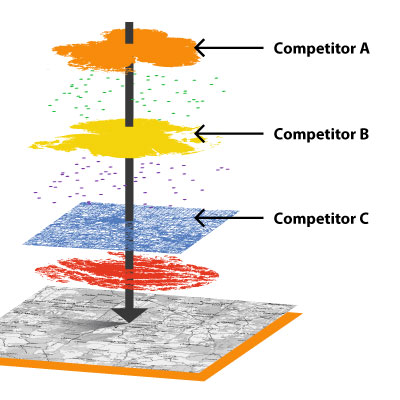
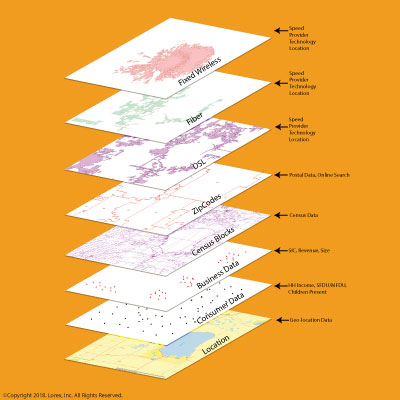
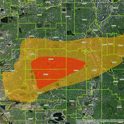
The inherent layering capability of GIS allows multiple data sources to be intersected to gain a much deeper understanding of clients and prospects than possible without it. All of this leads to more effective marketing.
Many marketers need a custom mapping solution: their market, their product and their prospects are unique. That's OK. We also provide custom mapping and marketing solutions to clients whose specific needs demand nothing less.
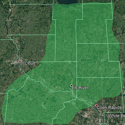
Maps-to-Marketing™: KMZ Snapshot™
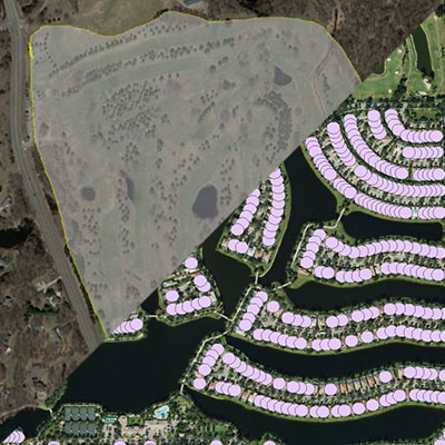
KMZ Snapshot™ is a basic market analysis of a target area that you define via KMZ or SHP file.
© 2015 Google Inc, used with permission. Google and the Google logo are registered trademarks of Google Inc.
